Field data collection
Once a mapping approach is selected , in addition to selecting image data, suitable field data needs to be collected for calibration and validation procedures. Ideally, the time(s) of sampling needs to be as close as possible to the image acquisition, however this is not always possible due to logistical constraints or when archived imagery are used.
Careful consideration then needs to be taken to design a sampling scheme to determine where the data are collected. The sampling scheme will determine:
- what is sampled and how it is measured (e.g. vegetation cover, leaf area index),
- where it is sampled (e.g. transects, quadrats, points)
- location of where it is sampled (e.g. random, stratified, systematic)
- when it is sampled (e.g. following the image acquisition, after an event)
- at what level of detail (e.g. what are the mapping categories).
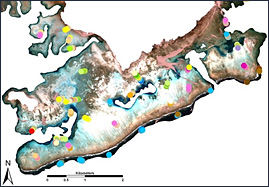
Image with location of field sites
Field data for calibration and validation
- Groundcover abundance & composition
- Vegetation structure
- Spectral library collection
- Control points for geometric correction
- Features mapping