Masking unwanted areas
When an image is corrected for radiometric and geometric distortions, areas that are not of interest for the mapping purpose can be masked out. Such areas are: water, clouds, shadows.
This can be done by:
- Using existing map or GIS files of the feature to be masked
- Using band ratios to extract the shaded areas
- Using NIR band to extract water as it does not penetrate water
- Delineating areas to be extracted
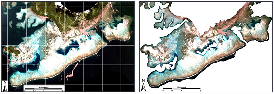
Geometric corrected image
Masking: Image of land without water and clouds.