Features mapping
When features are visible in the field and images, feature mapping can provide additional information for calibration and validation and georeferencing.
These feature could be a bare ground area (as shown below) or a specific vegetation type.
For feature mapping , the edge of the feature will be recorded while walking or driving a car, the extent and having a GPS logging the GPS position at set interval.
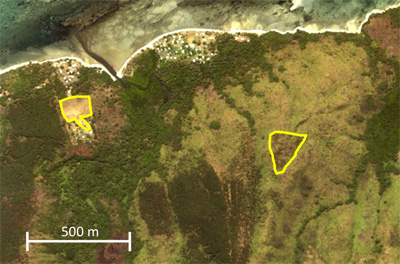
Example of bare ground area or vegetative area mapped within a terrestrial environment.