Image acquisition
Before acquiring an image exploratory work needs to be conducted to determine what imagery is suitable for the questions being asked. The web sites of local image providers provide links to sensor specific web sites or to Google Earth tools which help viewing the areas of interest at the required spatial extent. Assessment of these web site can provide information if the required imagery are available on archive or if new imagery needs to be requested.
Considerations when choosing an image type:
- Determine your mapping needs
- Determine your image pre-requisites
Be aware that:
- images shown on Google Earth and Microsoft Earth View are not the most recent images available;
- imagery is not regularly collected for all areas, until image pixel size is >= 10 m
(e.g. Spot)
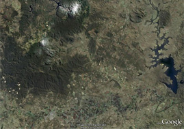
Screen grab of a Google Earth image
Google Earth provides the opportunity to assess several image types through the following layers:
- Digital Globe layer to assess Quickbird, WorldView, Ikonos, GeoEye
- Spot Imaging layer to assess SPOT coverage (10 m multi-spectral)