Driving surveys
Some studies require large distance to be covered and on the way description of the area. These description characterise the changes in land cover, vegetation types which can be related to satellite image calibration and validation.
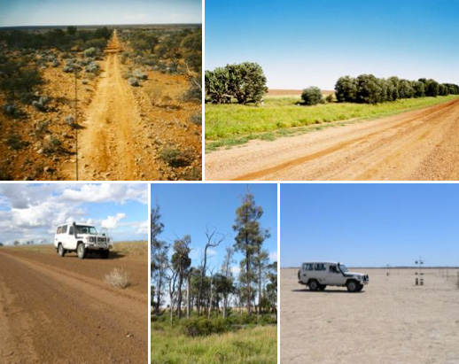
Driving surveys: Observations from a moving vehicle may be required to acquire data over large areas in short periods of time.
Reference:
Hassett, R.C., Wood, H.L., Carter, J.O., & Danaher, T.J. (2000). A field method for statewide ground-truthing of a spatial pasture growth model. Australian Journal of Experimental Agriculture, 40, 1069-1079
R. A. Karfs B. N. Abbott, P. F. Scarth and J. F. Wallace (2009). Land condition monitoring information for reef catchments: a new era. The Rangeland Journal, 31, 69-86.