Geometric corrections
Geometric correction of the imagery is required when information derived from the image needs to be integrated with other spatial data. For example, overlay of a National Park boundary, extraction of image values at a field sampling location. The process is often referred to georeferencing, which is the process of assigning projection, datum and coordinates to a digital image to provide the position (coordinates) of geographic objects on, above or below the earth’s surface.
When an image is acquired it is often geometrically corrected, however this may only be to a low level of positional accuracy. For high spatial resolution imagery the correction can be improved by georeferencing it to:
- Control points
- Other images
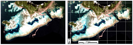
Uncorrected image
Geometric corrected image