Correcting for water column effects
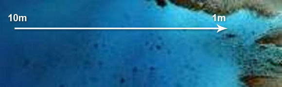
The water depth will effect how optical sensors detect the bottom features. For instance sand at 1 m can look different as sand at 10 m as a result of the water column. Below is summary of a description how an image could be corrected when bottom types are known at different water depth. A detailed description can be found at: http://www.unesco.org/csi/pub/source/rs10.htm.
Processes of water column correction, showing the steps involved in creating depth-variant indices of bottom type for sand and seagrass:
Step 1. Exponential attenuation of radiance with depth linearised for bands i and j using natural logarithms. (Band i has a shorter wavelength and therefore attenuates less rapidly, than band j).
Step 2. Plot of (transformed) band i against (transformed) band j for a unique substratum at various depths. Gradient of line represents the ratio of attenuation coefficients, k i / k j. The ratio is the same irrespective of bottom type.
Step 3. Plotting of multiple bottom types. Each bottom type has a unique y-intercept (regardless of its depth). The y-intercept therefore becomes a depth-invariant index of bottom type.
References:
Green, E. P., P. J. Mumby, A. J. Edwards and C. D. Clark (2000). Remote sensing handbook for tropical coastal management. Paris, UNESCO: 316